

General
Typhoon Shanshan Lashes Japan With Torrential Rain
Some flights and trains were canceled, and rescuers in the central region were searching for three people whose home was struck by a landslide.
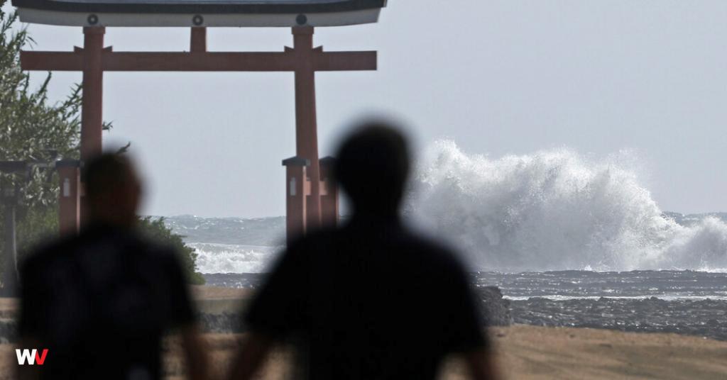
Typhoon Shanshan was bringing torrential rainfall and dangerous winds to Japan as it churned toward the country’s southwest on Wednesday afternoon. The authorities warned that wind speeds could strengthen and topple some homes.
In Aichi Prefecture in central Japan, rescuers were looking for three people after a landslide struck their home, the public broadcaster NHK reported on Wednesday morning. Another two residents had been rescued.
Japan Airlines said that it had canceled some Wednesday flights that had been scheduled to arrive or depart from some airports in central Japan, including from Osaka Kansai Airport, one of the country’s largest. All Nippon Airlines, the country’s largest airline, said that the storm was expected to affect some flights at Osaka airport.
Japan’s high-speed rail network, the Shinkansen, began to cancel some services starting on Tuesday. The number of cancellations was expected to grow on Wednesday and Thursday, its operators warned.
In some cities in central and eastern Japan, up to 10 inches of rain fell within a 24 hour window between Tuesday and Wednesday. Some cities in Japan were buffeted by winds of up to 86 miles per hour, equivalent to those of a Category 1 hurricane.
The typhoon slowed overnight as it approached the Amami Islands, an archipelago southwest of Japan’s mainland. Its sluggish motion will significantly increase how much rain it dumps over parts of Japan and lengthen the amount of time that damaging winds will lash the coast, the country’s meteorological agency said.
The storm was shifting north on Wednesday and on Thursday was expected to approach Kyushu, one of Japan’s main islands, the agency said. It may make landfall in Kyushu, the agency said, but forecasters are uncertain about its exact path.

Tracking Typhoon Shanshan
See the likely path and wind arrival times for Shanshan.
The start of the Pacific Ocean typhoon season this year has seen a lower number of tropical storms than average, in part because of the La Niña weather pattern that is predicted to arrive later this summer, according to the National Weather Service.

La Niña, which is defined by cooler equatorial sea surface temperatures, typically increases wind shear — changes in wind speed and direction — in the central Pacific region, which makes it harder for storms to develop, the Weather Service said in May.
Judson Jones contributed reporting.
















On the front line of Ecuador’s drugs war, police fight gangs, guns and corruption

Johnson & Johnson offers up to $5.5bn to settle baby powder lawsuits

China’s new challenge as natural disasters strike – fake AI videos

Iran rules out any restrictions on its enrichment programme, nuclear chief says

The film ‘Los domingos’ sweeps the Goya 2026, here is the list of winners
